At Mile: 566
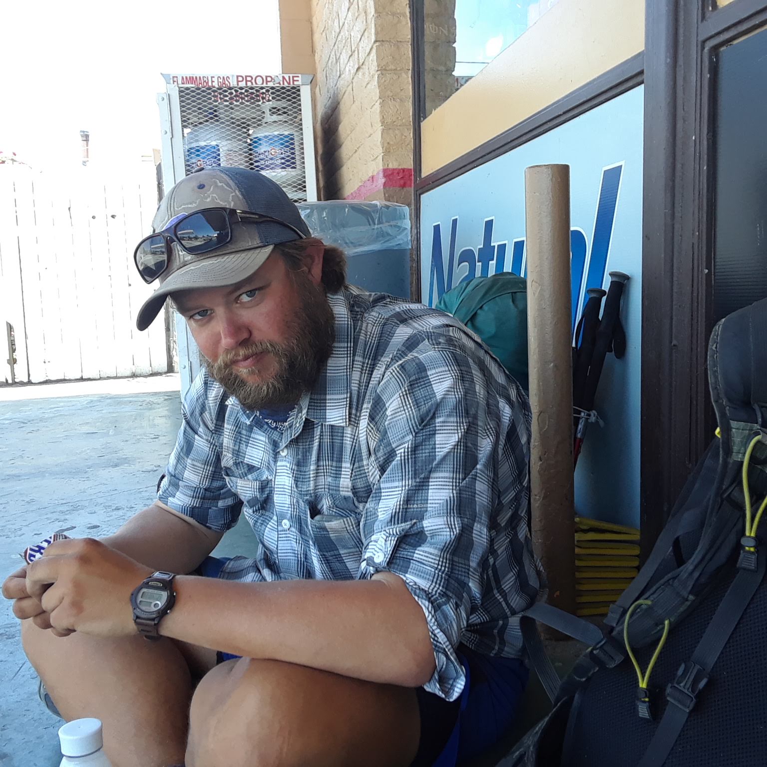
Greetings from Tehachapi! We got here yesterday afternoon and are taking a zero day. We have big plans for today: swim in the hotel pool, eat, nap, eat more.
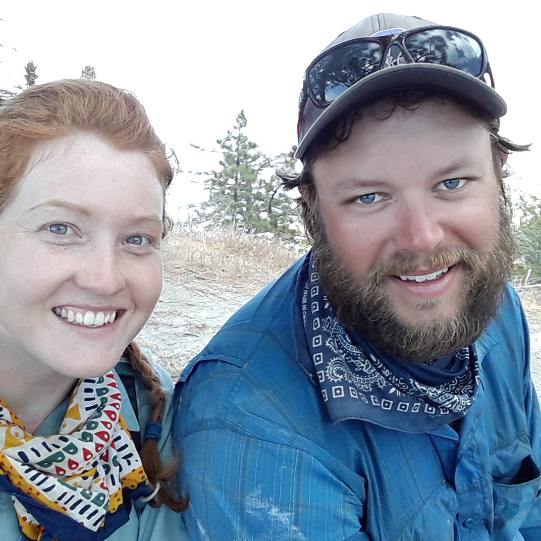
We know it has been a while since we last posted. We have been busy and hot and tired and the cell service spotty. But buckle up, because we are going to make sure to catch you all up on everything you might have missed. Last time we wrote, we were in Wrightwood on Thursday, 5/24. Let's begin there...
5/25 - 19.9 Miles
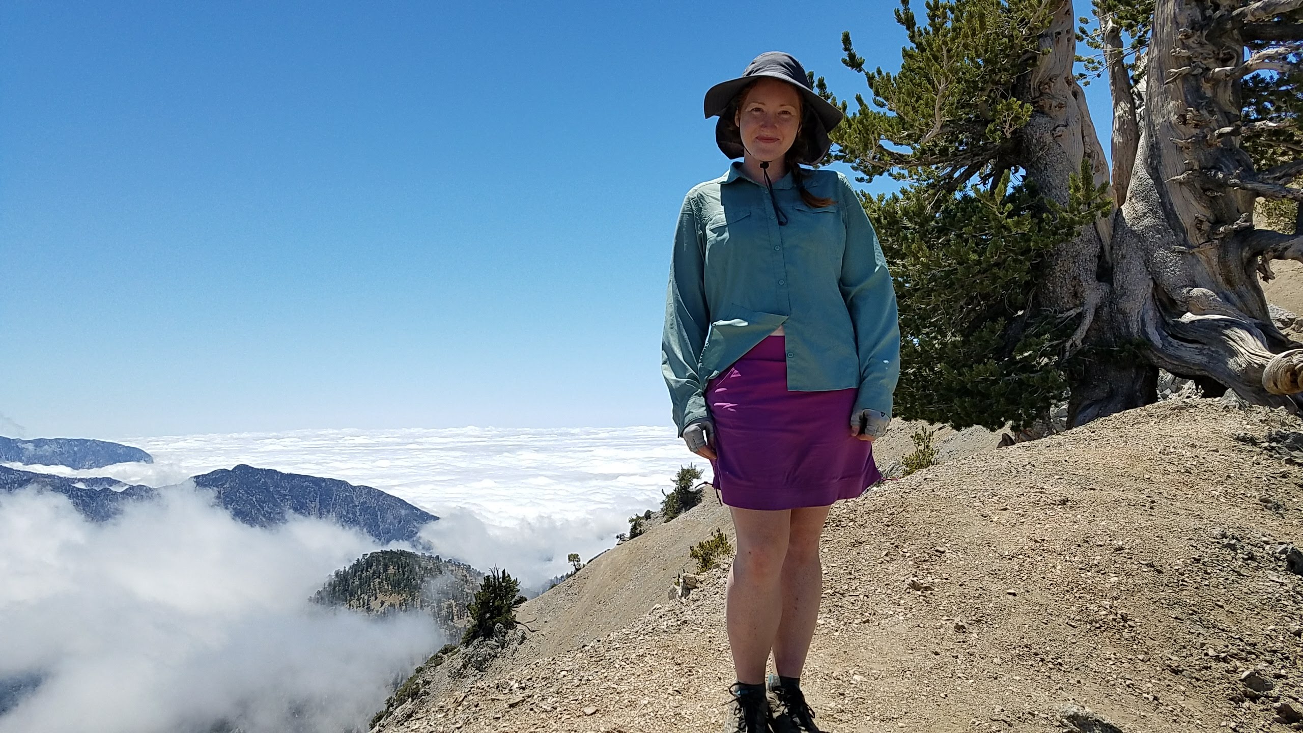
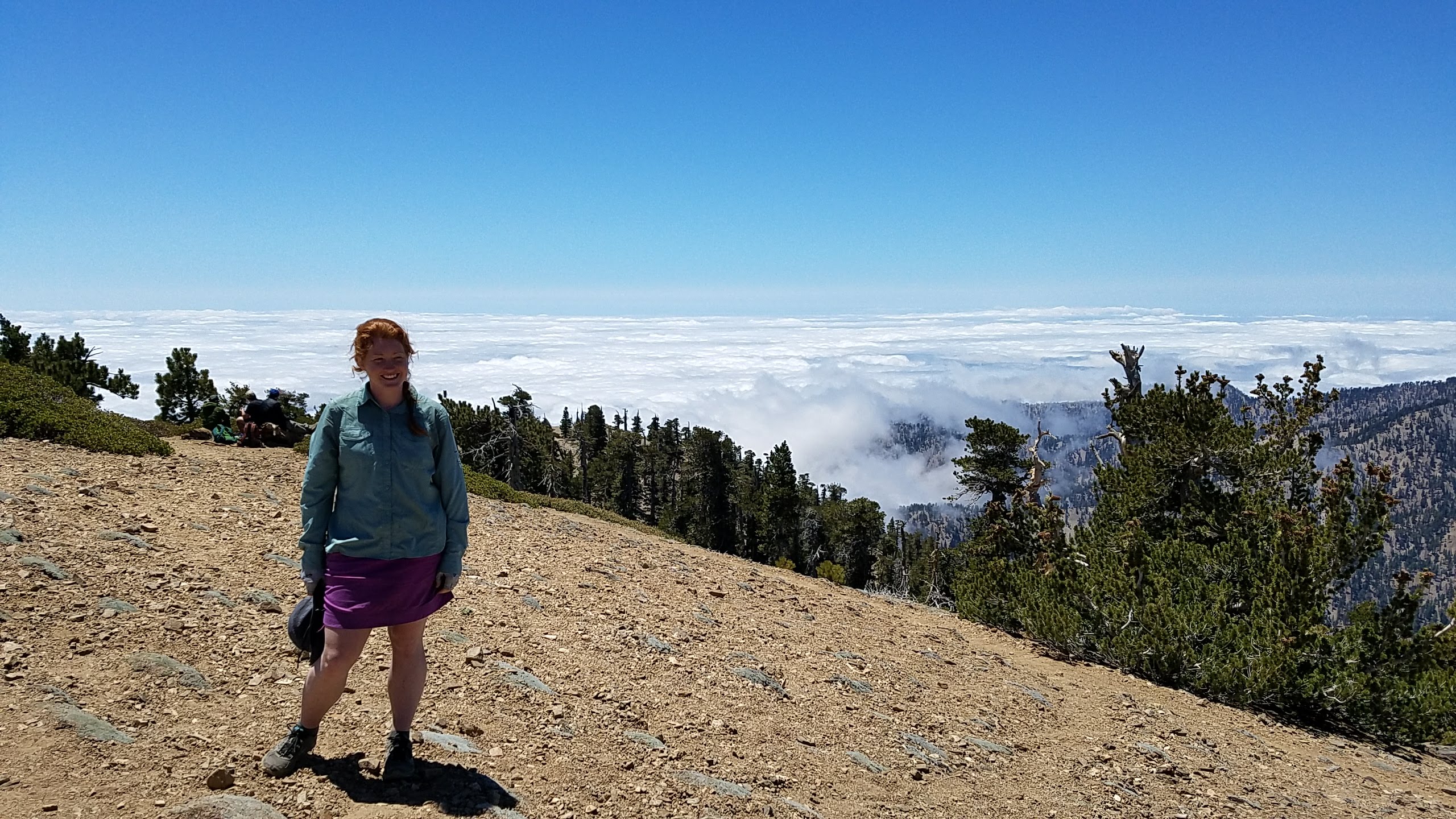
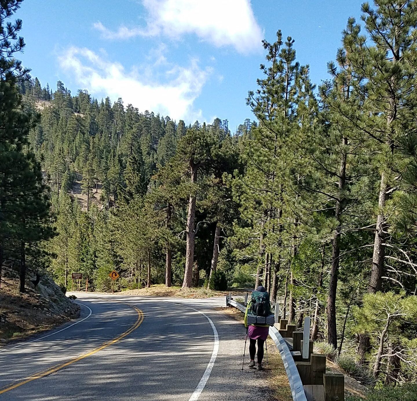
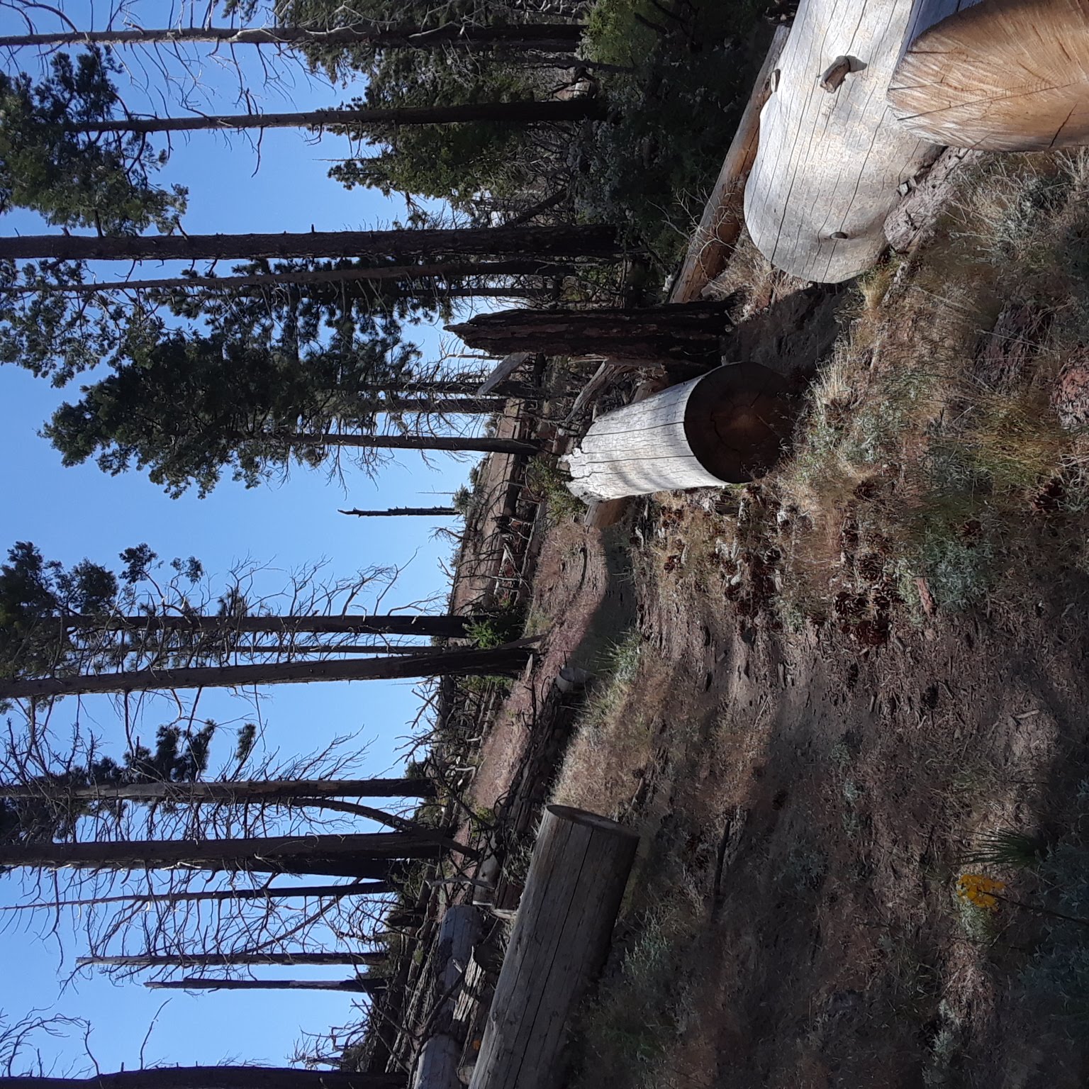
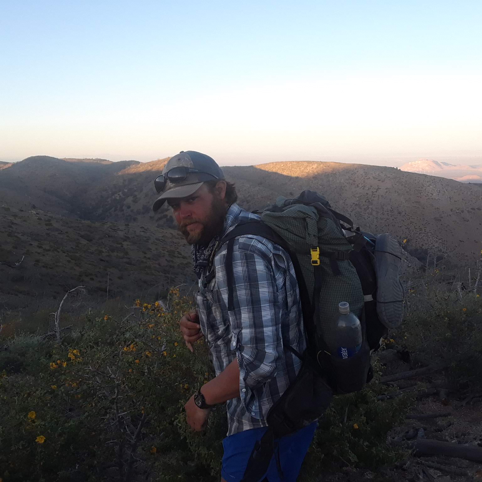
We stayed the night with trail angels whose names and number we found in a notebook in the town hardware store. Ken and Diana were great. They fed us, shared glasses of wine and conversation. We slept in a spare room and washed our laundry there. In the morning, after a big breakfast, Diana drove us back up to the trailhead. It was 42 degrees when we started hiking but we didn't mind, because the hike out of Wrightwood includes a long and steeper than usual climb up Mt. Baden Powell. The trail goes within 0.1 mile of the summit, and I made David climb up to the top. We didn't stay for long though as it was too cold and windy. We had lunch and fell asleep in the sun along the trail a few miles later. The rest of the day was spent hiking into a cloud. We (very confidently) bought only 4 days of food to get us to Agua Dulce, so we knew we had to move quickly. We made it 19.9 miles.

5/26 - 22.5 Miles
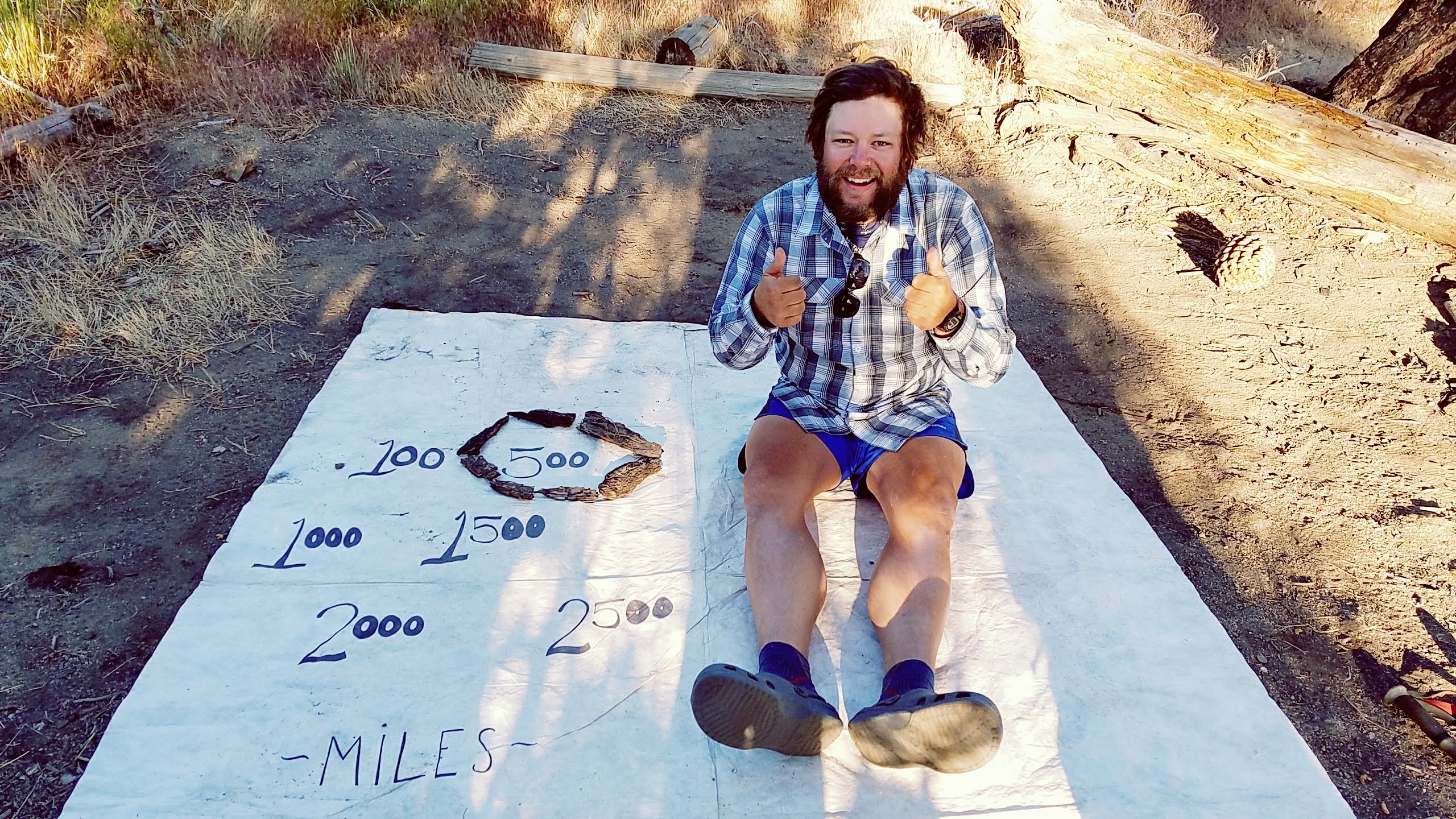
We woke up in the cloud still. Our tent was soaked and so was everything that had touched it. After a mile on the trail we had to take a detour, not around another burned area but around the habitat of an endangered mountain frog. The detour included three miles of walking down a curvy road, into a campground and up a side trail to meet up with the PCT again. The trail was busy because of the holiday weekend and we passed day hikers and troops of boy scouts. We also passed the 400 mile mark and stopped for a bowl of chili courtesy of some generous campers at Glenwood Cabin. The day was still cool and cloudy, so warm chili next to a wood stove felt great.
Later in the day we filled up our water bottles at a spring that was miraculously right on the trail and hiked up to a campsite right of the edge of a ridge. There was only one other tent there when we showed up, but by the time we finally climbed into our sleeping bags after our nightly routines (set up tent and let it dry, clean face, legs, and feet with baby wipes, change into clean clothes and camp shoes, eat dinner, brush teeth, etc) the campsite was filled with other hikers. Sometimes we will see the same people a dozen times in one day, and sometimes we stumble upon hikers we haven't seen in weeks, only to lose them again. David and I have been talking lately about how crowded the PCT can sometimes feel, more so than the AT (even though the actual numbers of hikers doesn't support that). But when there is one water source in a 20 mile stretch, one place in town to stay, one town in 100 miles of trail, that is where every hiker has to stop. Sometimes it feels like a parade until everyone gets spread out again.
5/27 - 24.7 Miles
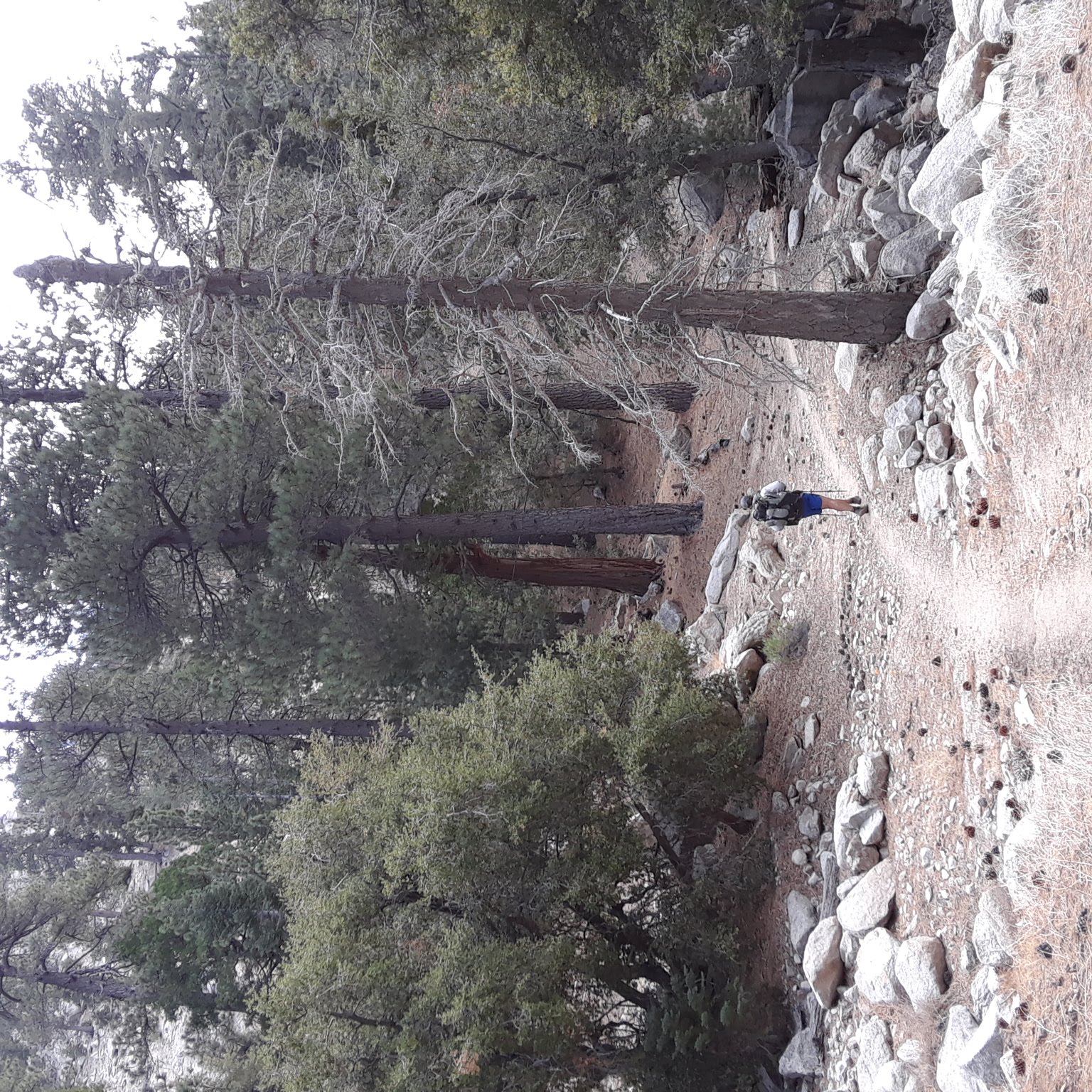
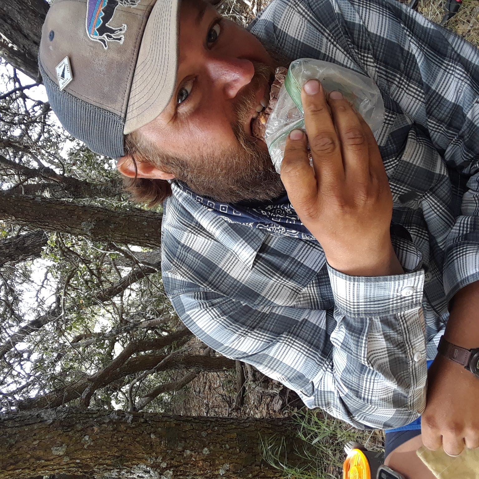
We were among the last to leave the campsite but the seven miles down to a fire station for more water went quickly. A dozen hikers sat around a faucet in a parking lot and discussed food and mileage and the weather. David and I heard rumors that at the next water source, another fire station, volunteer rangers would feed hikers hot dogs and snacks. So our minds were made up. The day was hot and the hike was mostly boring that day, and we spent lots of time pushing through branches of waist high prickly bushes that grew over the trail. But we knew that there was food waiting for us, so we pushed on. Sure enough, 18 miles later we walked up to the fire station and were offered a selection of snacks and cold drinks to purchase, and one free hot dog each. I don't even like hot dogs, but I ate mine in 3 bites.
We set up our tent in our own horse corral down the hill from the ranger station and with full belly, fell asleep.

5/28 - 18.4 Miles
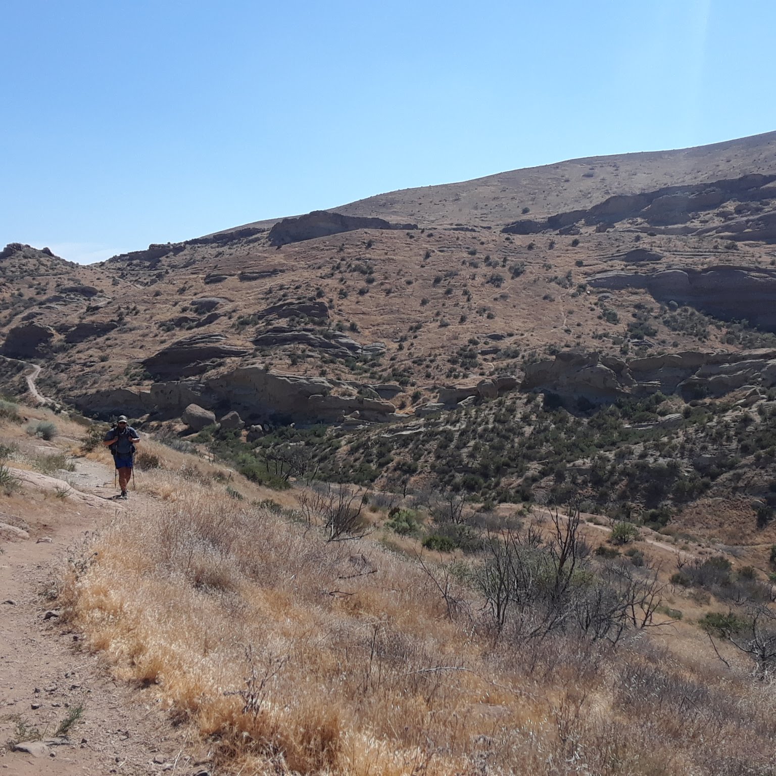
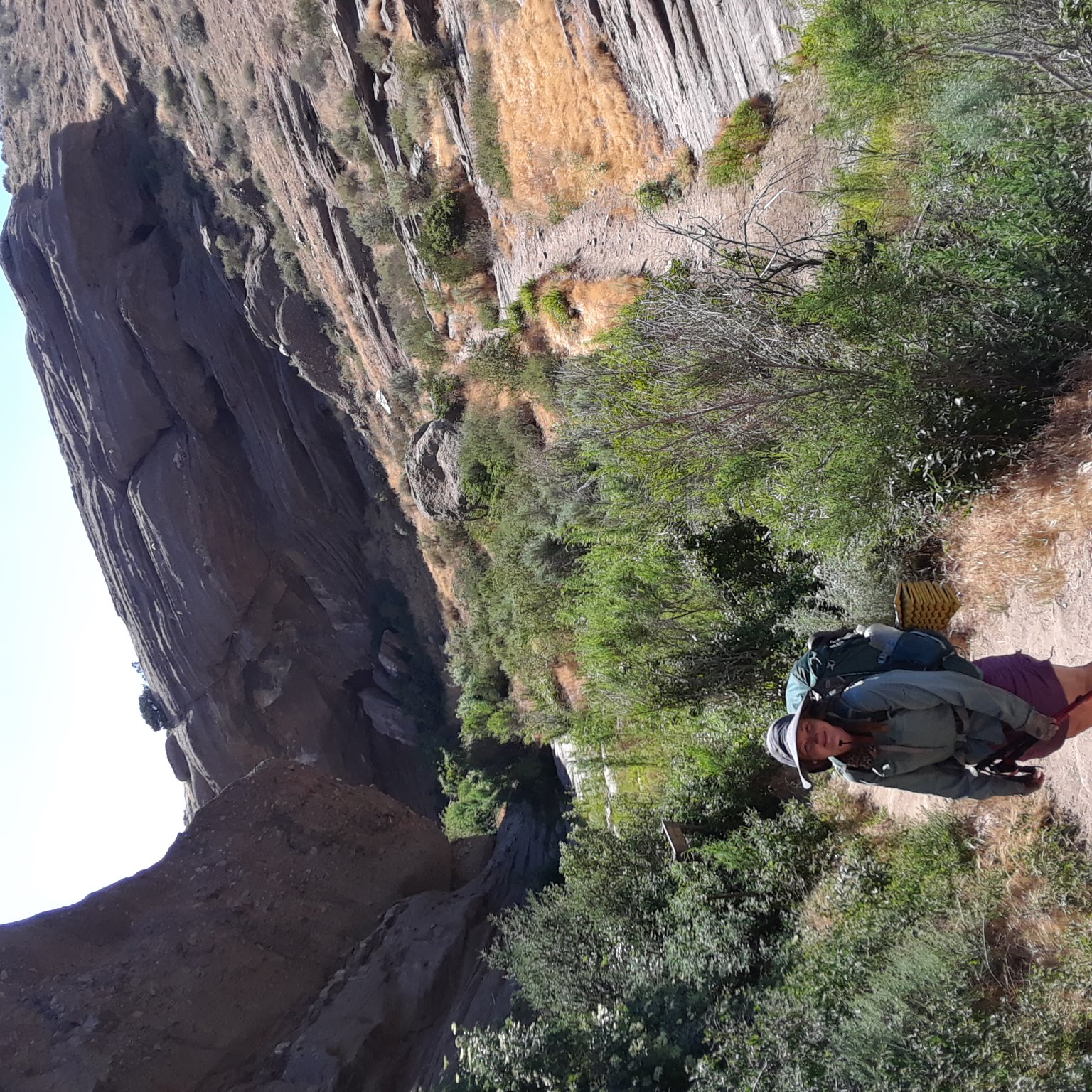
It was already hot when we woke up at 5:30 am. There was 18 miles to Agua Dulce, and we tried to do as much as we could before the worst of the heat hit, but it was no use. We spent the day taking shelter where ever we could find it: tunnel under the freeway, picnic table in a construction site, under a weird shaped rock. You could read the salt lines on David's shirt like the rings of a tree; each line was an hour in the sun. Instead of being refreshing, the water in our bottles was like sipping out of a hot tub. We limped through the horse trails Vasquez Rock Park then finally on to the road that led into Agua Dulce. Our first stop was the grocery store for cold drinks. Then to a Mexican restaurant where we ate until we were uncomfortable. By the time we finished eating, there was a truck outside ready to shuttle hikers to Hiker Heaven, the private residence of a couple who have been hosting hikers in their yard for almost 20 years. They had it down to a science: laundry, outdoor showers, shuttles to and from town, portable toilets, charging stations, loaner clothes to wear while our clothes were being washed. They had dogs, horses, and chickens running around as well as one aggressive rooster. We set up our tent in the yard among all the others.

5/29 - 4.5 Miles
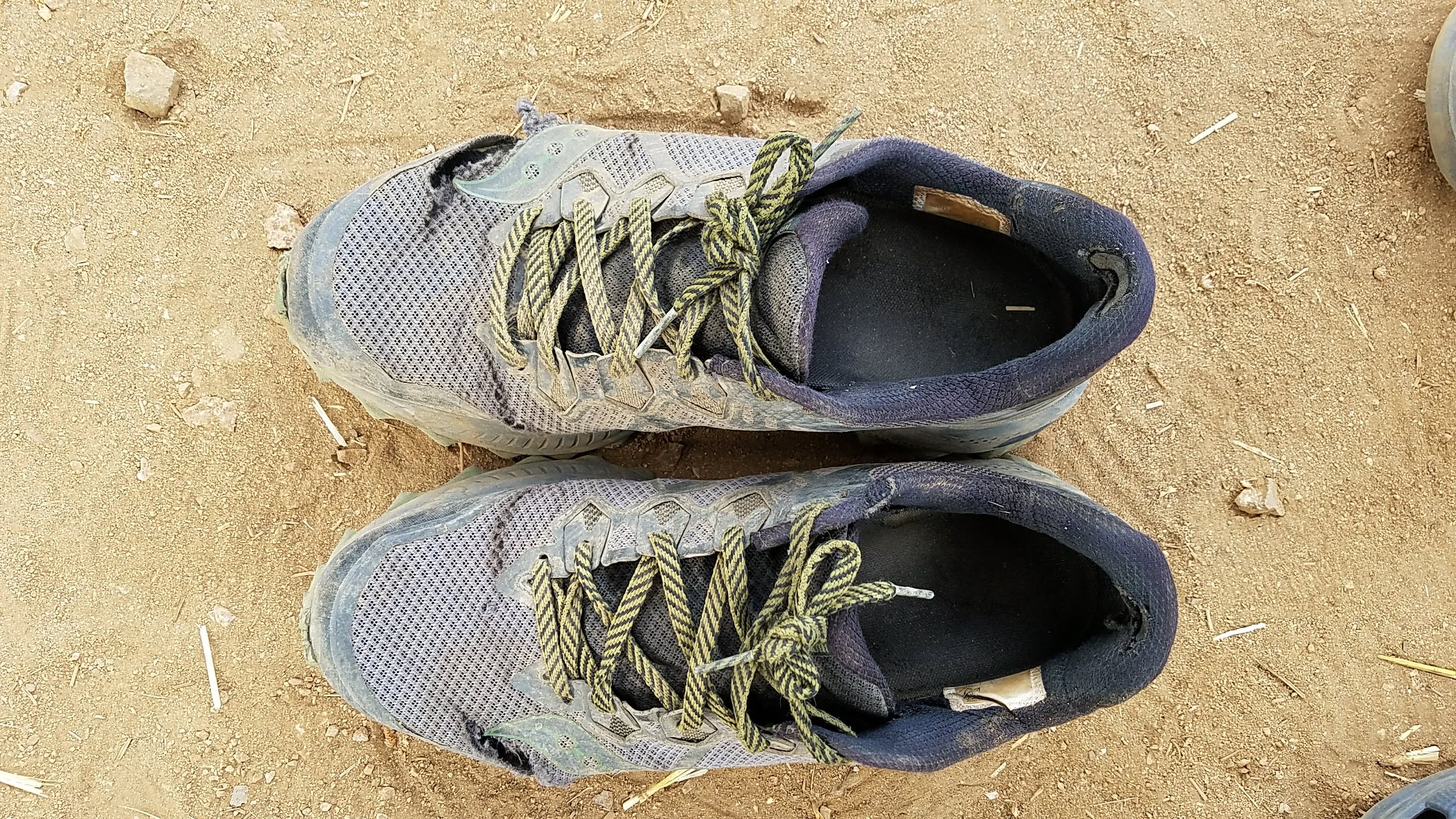
This day was for chores. David and I took an Uber to an REI to get replacement shoes. David wore his new shoes right away as the shoes he started with were ripped through on top, but I decided to carry new shoes and squeeze every possible mile out of the old ones. It was another hot day, so even after we returned from REI, we didn't leave town. We each took another shower and stopped for pizza, not leaving town until 6:00 pm after it had cooled down a bit. We made it about 4.5 miles that night before setting up our tent on a bumpy ridge and passing out.
5/30 - 23.5 Miles
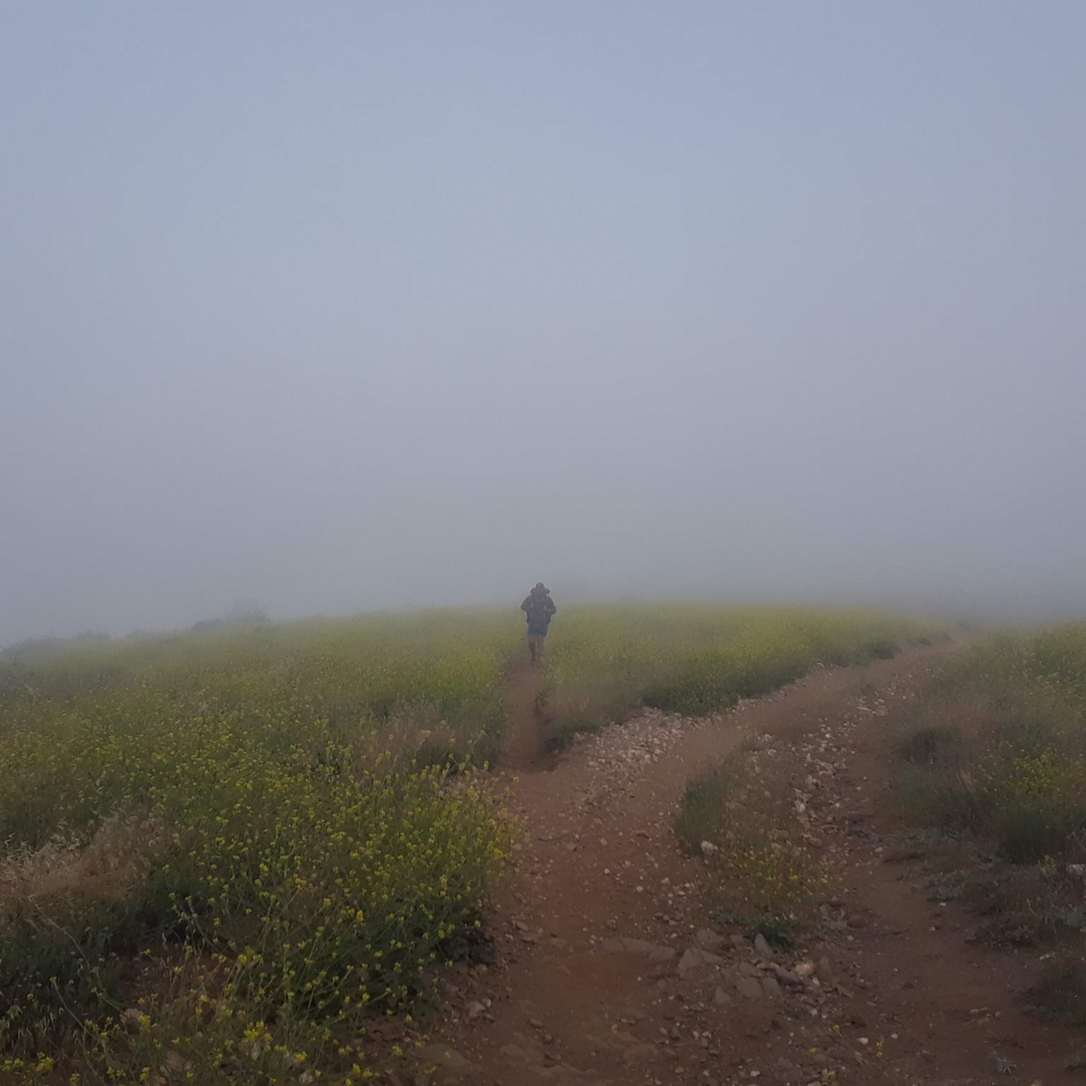
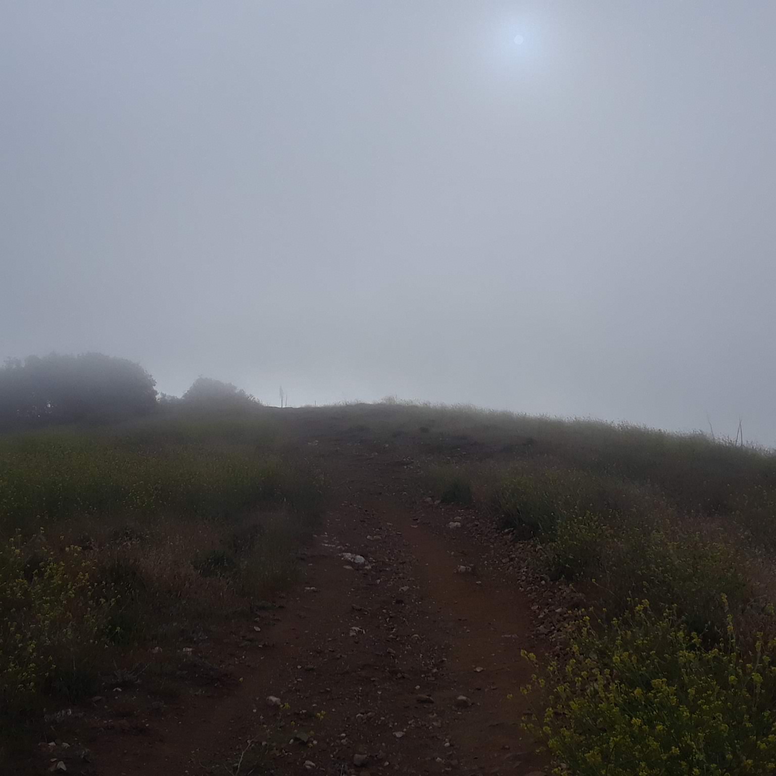
We woke up in a cloud! Fantastic news, because more heat had been forecasted. We went fast, knowing our luck might not hold for that long, but to our surprise, the sun didn't burn off the clouds until the afternoon. There was a road crossing that led into the tiny town of Green Valley, and we briefly tried to hitch a ride to a convenience store for cold drinks, but gave up after a few minutes and just settled for cool-ish water out of the spigot near another fire station. We climbed away from the road and set up our tent on a dirt mountain road because we couldn't find a better spot.
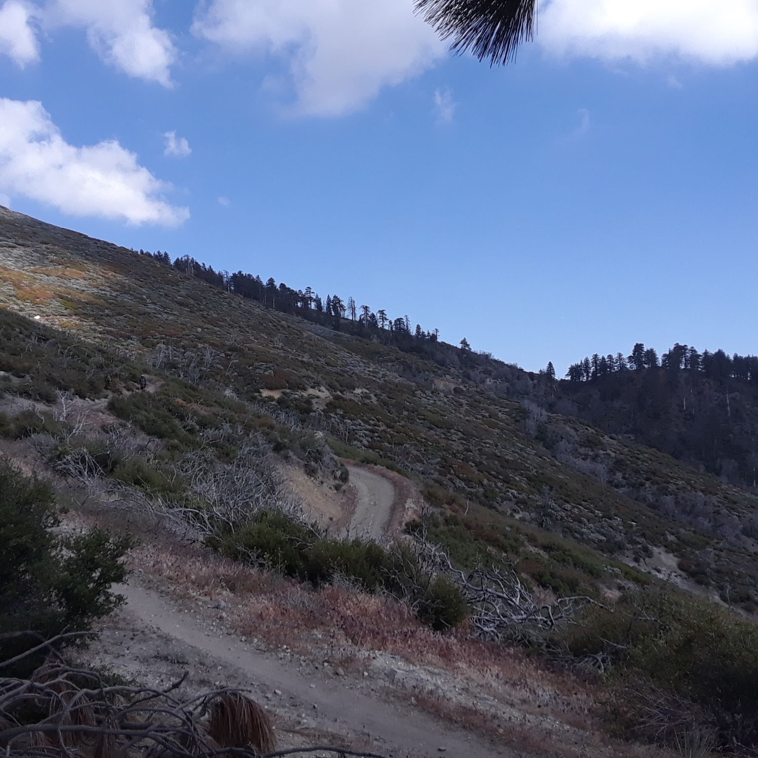
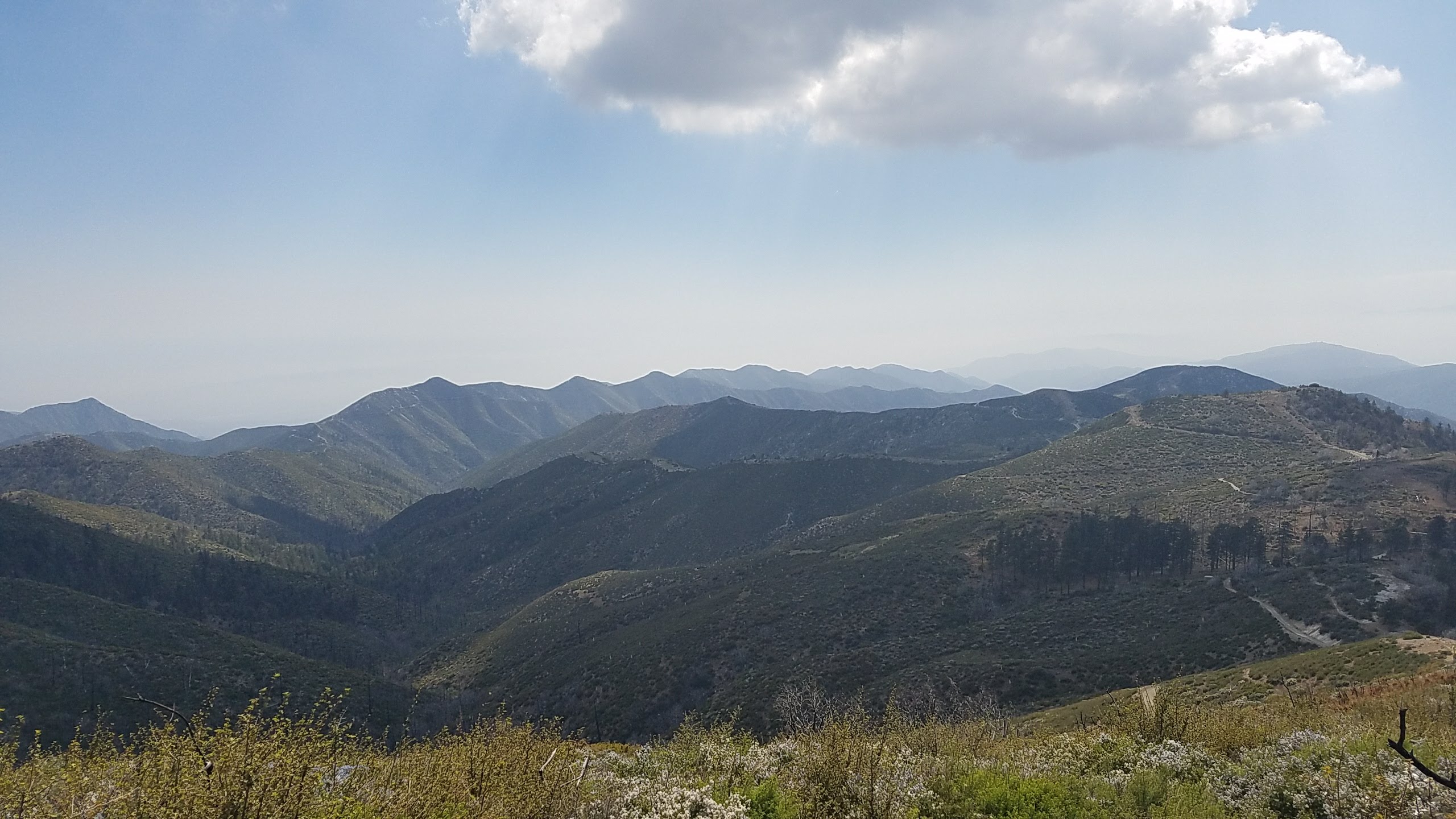
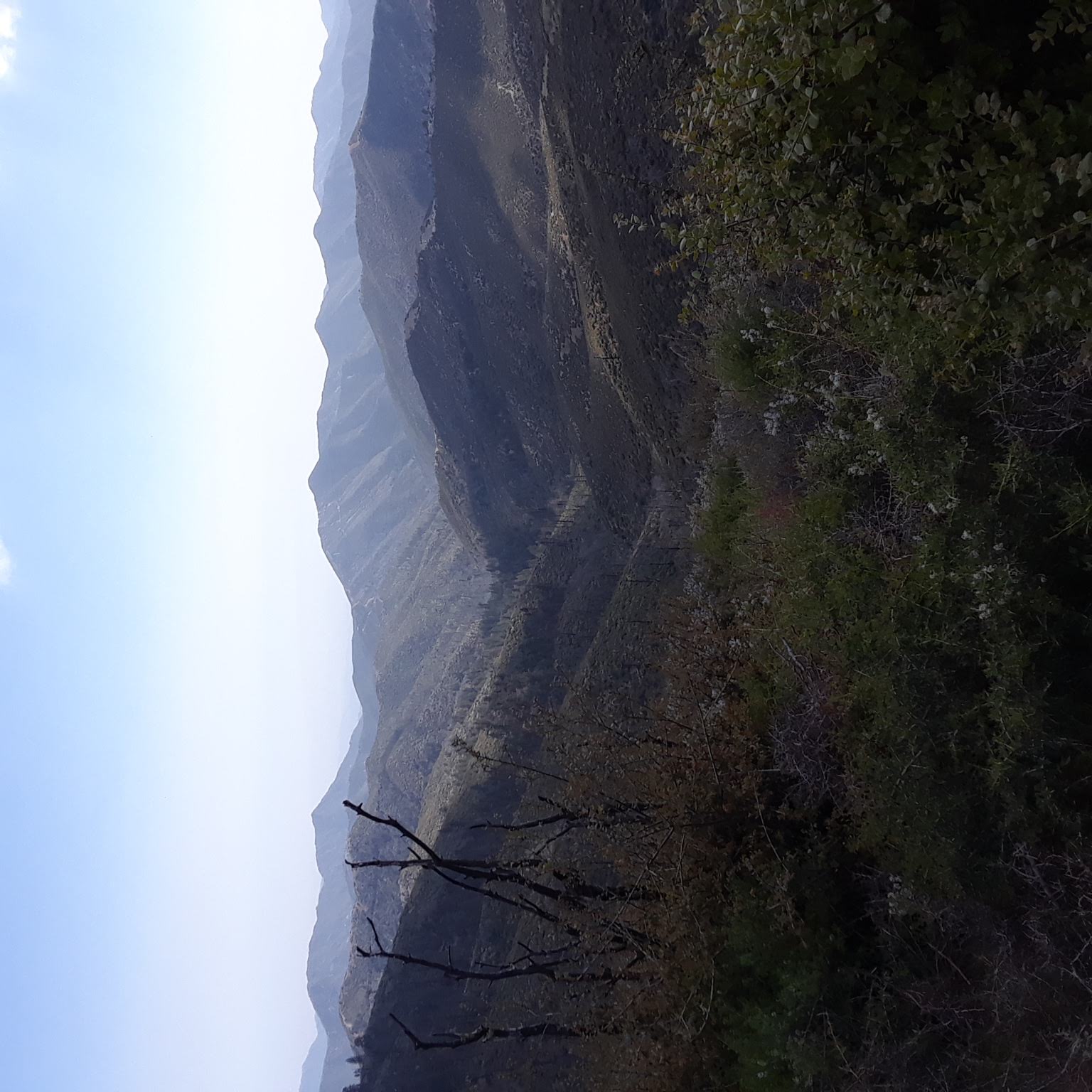
5/31 - 25.6 Miles
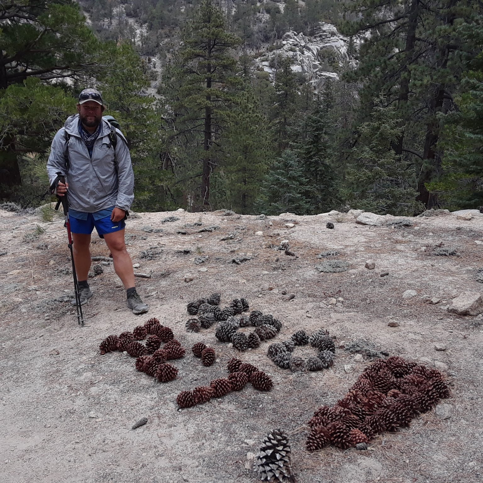
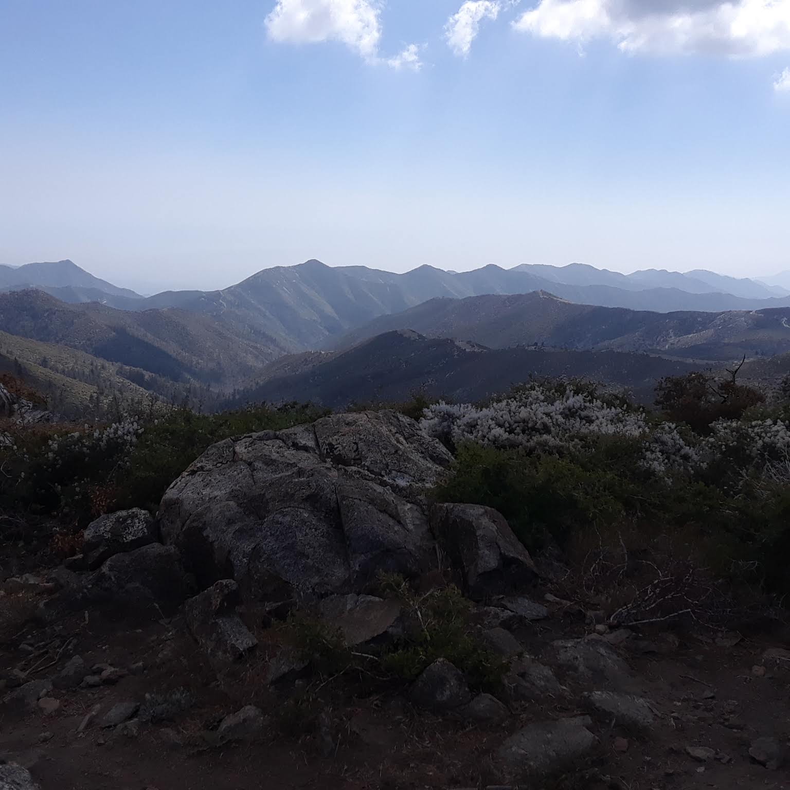
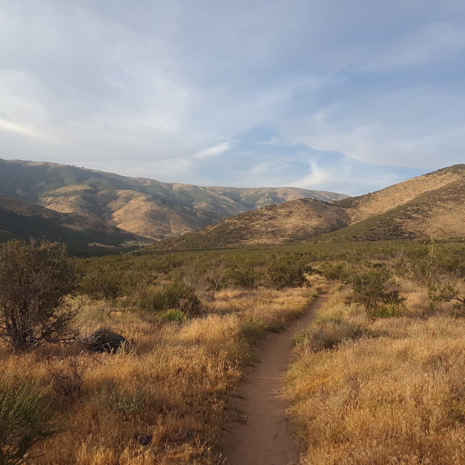
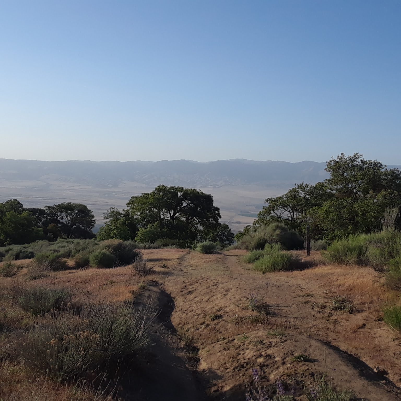
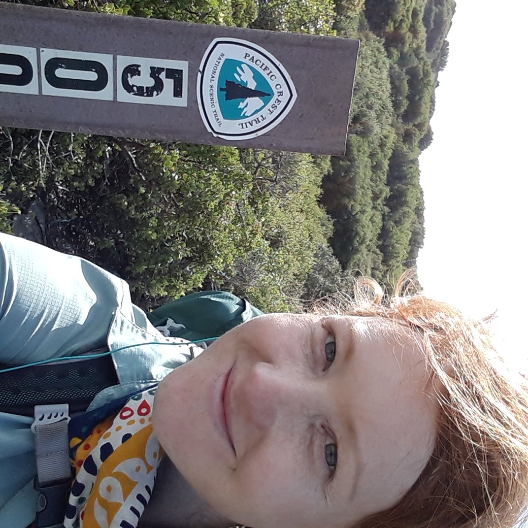
Another cloud! We were thrilled for a few hours until we found ourselves hiking down out of the shade and onto a different sunnier range of hills. The day was windy and the scenery was nice, though. David and I both put in our headphones, put on podcasts, and settled in to the day's hike. It is so nice out here when we aren't miserable. We passed the 500 mile mark! Around lunch, we decided where we wanted to stay for the night, choosing a campsite that had a spring nearby so we wouldn't be reliant on the other water sources we would pass that day. They were all cisterns filled with old rain water and most were reported to be filled with leaves and dead animals. No thanks! We also wanted to ensure that we made it far enough so that the trail to Hikertown the next morning was short and could be finished before the heat of the day. We hung our food that night, as we are starting to get into bear country!

6/1 - 21.2 Miles
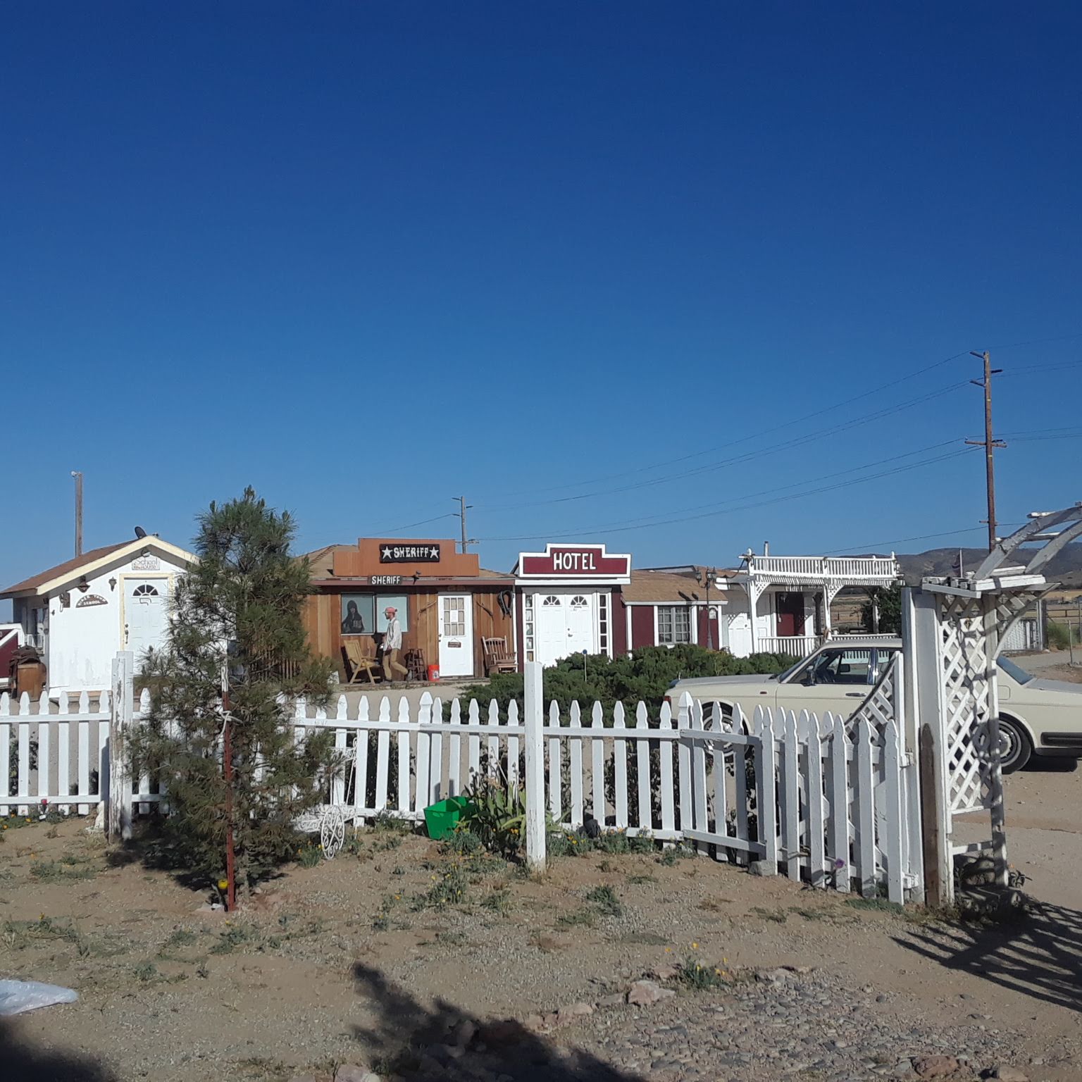
We had less than 10 miles to Hikertown and thank goodness, because it was a horribly hot day. I am not sure how to describe Hikertown. A hostel, maybe? All the buildings are miniature but decorated and arranged in the semblance of an Old West town. We were very confused, but there were showers (in the old timey Sheriff's office) and couches to sit on (in City Hall). There were also a couple of weird locked buildings filled with mannequins and knickknacks. Some of the buildings were confusingly labeled (Cat House? Mining Supplies?). We stopped there to freshen up and grab lunch at a cafe and stock up on water before heading back out into the desert. The next section, 50 or so miles to Tehachapi are supposed to be boring and hot, as the trail follows along the LA aqueduct. We didn't leave until 6:00 pm and hiked for hours, knowing that the flat and exposed trail would be worse in the daytime. Finding a tent spot and setting up our tent in the dark is never fun, but when it us this hot, it feels like the only rational choice.


6/2 - 24.6 Miles
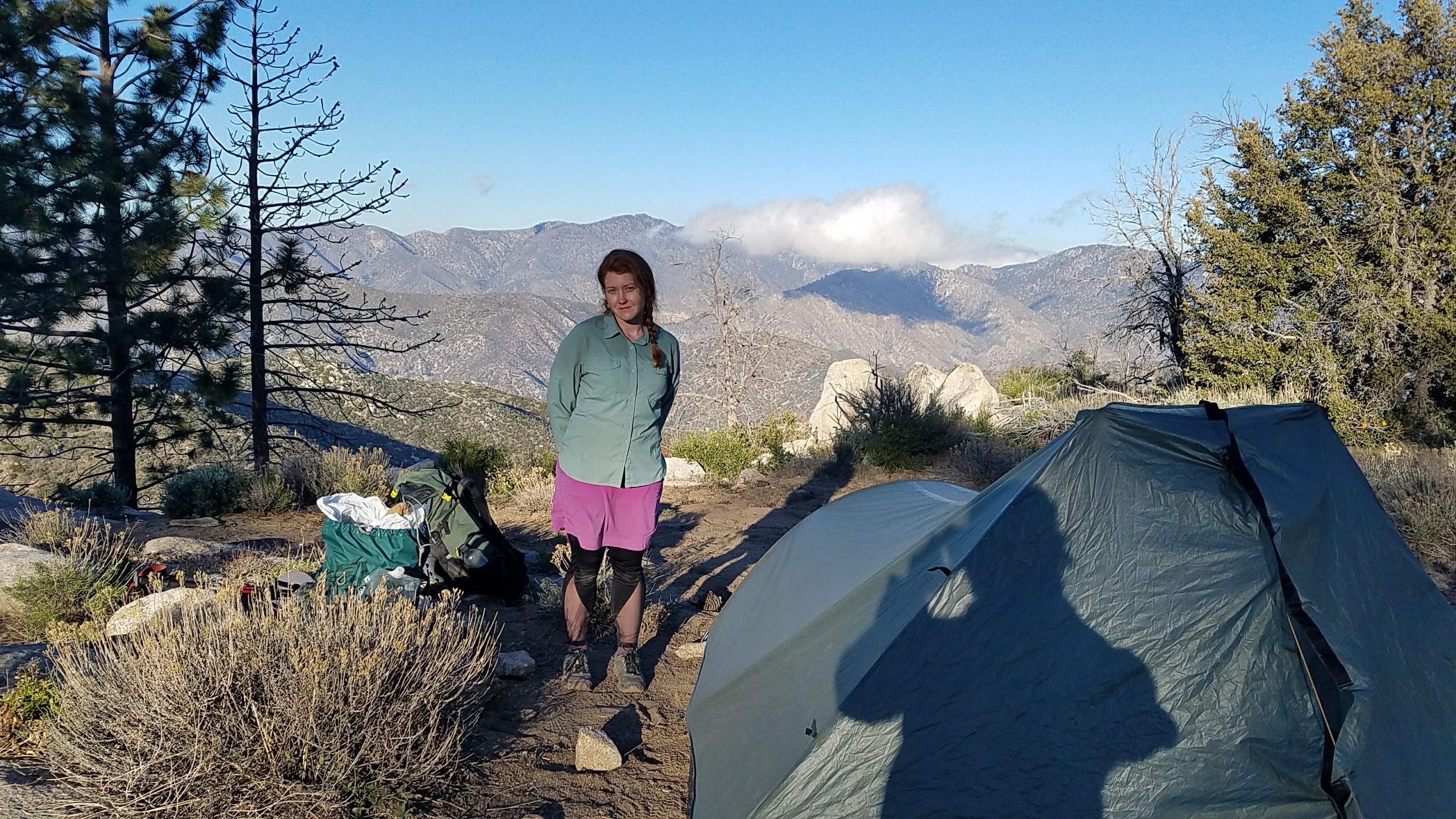
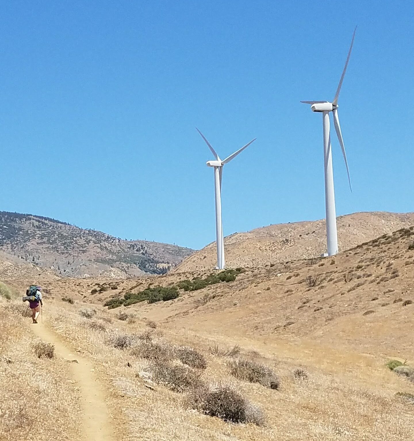
Luckily the first half of our hike this day was along flat ground and we were able to move quickly. We had thought that hiking along the aqueduct would be more interesting, but most of the time we were just on a dirt road, the aqueduct buried somewhere underneath. We spent all morning working towards a stream we knew was running through a canyon ahead. The stream was barely a trickle but it was water and there was shade nearby so we could rest until the heat of the day has passed. David and I climbed out of the canyon and it was bad. Hot and steep, it took forever and we drank more of our water than we intended. Luckily, at the top of the hill there was trail magic set up. Water, fruit, cookies and chairs waiting in the middle of nowhere on top of a hill. People are awesome. We stocked up and moved on, determined to shorten our hike into town the next morning. Our tent site was right near four huge wind turbines and when we lay down to sleep, we could see thousands of stars and the whirring of the turbines lulled us to sleep.
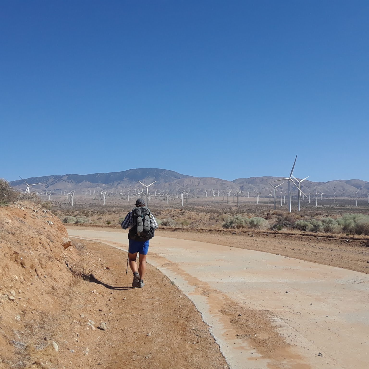
6/3 - 12.4 Miles
Tehachapi here we come! 12 miles into town, most of it winding through a massive wind farm. We arrived at the road crossing right at noon and caught a ride into town. My feet, still in my first pair of shoes, had been hurting for days, so when we arrived at a convenience store I took them off and promptly threw them away. David and I then engaged in what we call a "stealth hitch;" sitting in full view of the public while looking pitiful until we are offered a ride. It only took 5 minutes.
David and I hope that everyone enjoyed this summary of our past days. It sucked to write and we probably won't do it again. Maybe it will be incentive enough for us to post more regularly...or not.
Please don't stop posting or walking. Sharing your adventures with us, gives everyone an opportunity to reflect on what the basics of life are. Keep on truckin!
Thanks for the post! We love hearing from you guys and following along on your adventure! Do people use trail names on the PCT like on the AT? Are there places to sign in along the way? Glad you've been finding hostels and trail angels/magic. Especially water sources.
Most people do use trail names like on the AT. David and I don't, though. It would feel silly to call one another by our trail names. There are places to sign in, a few trail registers directly on the trail and then in all the most popular places in towns, like post offices and outfitters.